---------------------------------
Address
Phone: +251 988 111 222
Need help or have a question?
Contact us at: info@driveethiopia.com
Addis Ababa, Ethiopia
---------------------------------
Address
Phone: +251 988 111 222
Need help or have a question?
Contact us at: info@driveethiopia.com
Addis Ababa, Ethiopia


Can you still see Afar salt caravans? What the record shows, where Berhale and Hamed Ela sit against the FCDO no-travel line, Semera, and Afar culture.
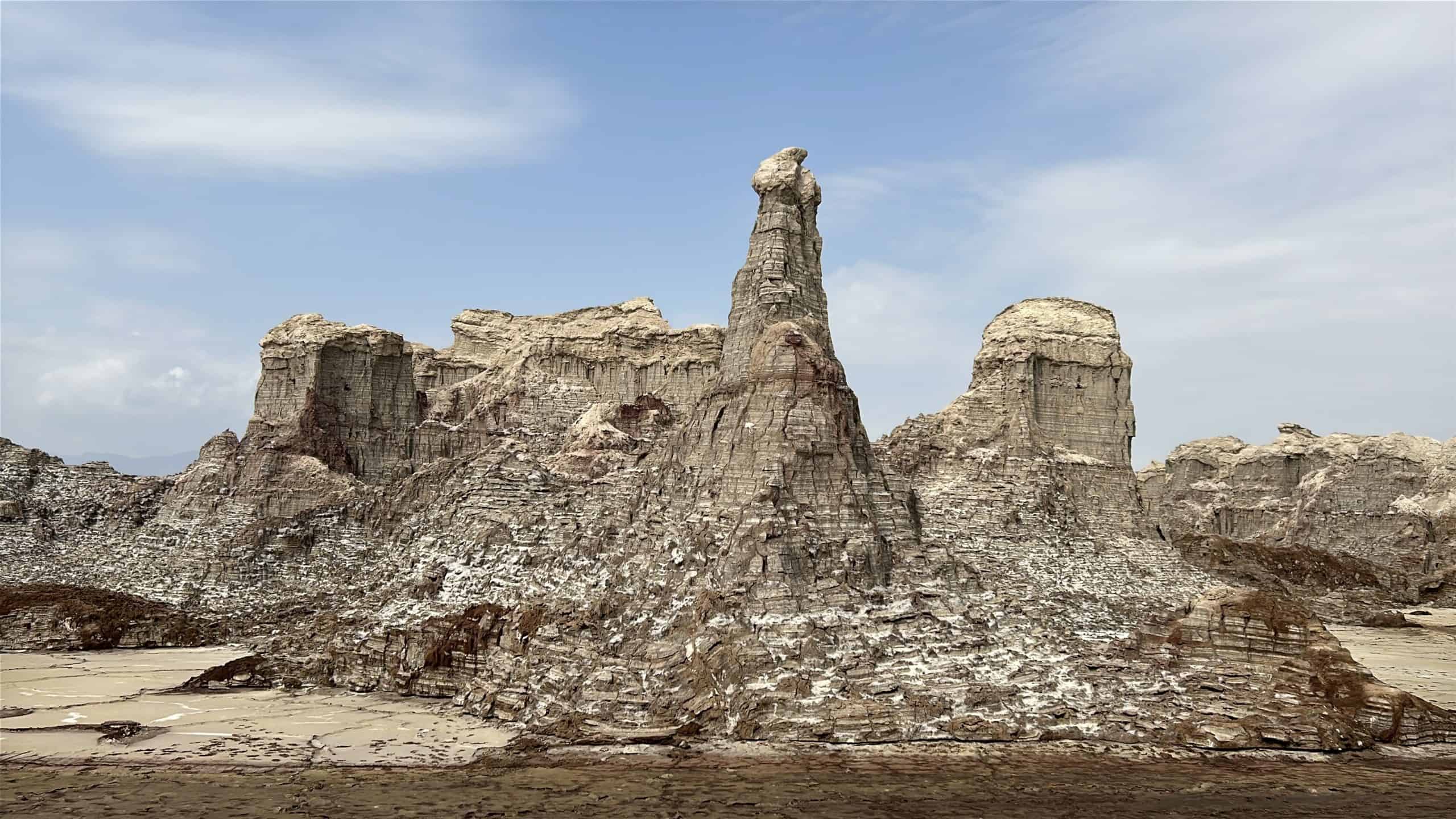
The Afar camel salt caravans were still working when they were last reported, but nobody can promise you will see one, and the places where they gather are currently off limits. AFP described caravans hauling salt from Lake Karum to Berhale in 2017. A 2021 anthropological film recorded that trucks had been replacing the camels since 2010, and that the trade was in steady decline. We found no dated report from 2025 or 2026 confirming caravans on the route. More to the point for a traveller, Berhale and Hamed Ela, the two places where caravans are usually seen, both sit inside the strip of Afar where the UK Foreign Office advises against all travel.
This guide explains the Afar region beyond the volcano and the salt flat: the people, the salt trade, Semera, and what the travel advice means for each place.
The UK Foreign, Commonwealth and Development Office (FCDO) updated its Ethiopia advice on 30 October 2026. For Afar, it advises against all travel within 20 km of the border with Eritrea and within 50 km of the boundary with Tigray region, and against all but essential travel to the rest of Afar.
It also says: "Foreign nationals are currently unable to travel to airports in Afar regional state due to restrictions by the Ethiopian authorities." That includes Semera. The same advice reports renewed clashes between insurgent groups and the Ethiopian military in parts of Afar and Tigray, "including reports of drone strikes which have increased in frequency since August 2026", and irregular armed clashes along the main Addis Ababa to Djibouti road.
We measured the main salt-trade places against the Tigray boundary and the Eritrean border, using OpenStreetMap data downloaded on 21 November 2026. Administrative boundaries on OpenStreetMap are close to the official lines but not identical to them, so treat a result within a few kilometres of a limit as on the line.
| Place | Distance to Tigray boundary | Distance to Eritrean border | Under the FCDO advice |
|---|---|---|---|
| Berhale | 19.5 km | 61.8 km | All travel advised against (within 50 km of Tigray) |
| Hamed Ela | 42.9 km | 30.8 km | All travel advised against (within 50 km of Tigray) |
| Lake Karum, nearest shore | 49.8 km | 24.4 km | On the 50 km line |
| Lake Karum, farthest shore | 62.0 km | All but essential travel | |
| Dallol | 36.7 km | 14.8 km | All travel advised against (inside both strips) |
| Erta Ale | about 86 km | All but essential travel |
The result is plain. The salt road from Lake Karum to Berhale runs through the part of Afar the FCDO says not to visit at all. Only the eastern part of Lake Karum lies outside that strip, and reaching it means passing through Hamed Ela.
Lake Karum, also called Lake Assale or Asale, lies about 120 metres below sea level in the north of the Danakil Depression. It is extremely salty and ringed by a salt pan that is still mined, according to its Wikipedia entry, last edited in July 2026.
Salt is cut from the pan in blocks, and for generations camel caravans carried it to markets in the rest of the country. The 2017 AFP report described the route as it worked then. The caravans ended at Berhale, a journey that "used to be a four-day trek" now took three days, and at a trading post on the edge of town the blocks were loaded onto trucks for the onward journey, some as far as Kenya. The road builders had connected Berhale to Mekele by tarmac about five years earlier.
That road changed the trade. In the 2021 film Arho, published in the Journal of Anthropological Films, anthropologist Till Trojer records that "since 2010, trucks have slowly replaced the camel caravans. This has led to a steady decline in the trade."
So when a tour page promises camel caravans at dawn, read it as a description of how the trade used to look, not a schedule. Caravans may still run in some form. We could not find a dated source that says so, and we will not promise one.
The Afar live mainly in Ethiopia's Afar Region, and also in northern Djibouti and along Eritrea's southern coast. Afar is an East Cushitic language. Most Afar are Sunni Muslims. Herding has long been the base of Afar life, with camels at its centre alongside goats, sheep and cattle, and Ethiopian Afar have traded salt for centuries. Society is organised into clans led by elders, and the region was historically divided among several sultanates, of which the Sultanate of Aussa is the best known.
Today many Afar also farm, trade or work for wages, and Ethiopian Afar have long worked in the salt trade. When people describe the Danakil as empty, they are leaving out the people who have lived and worked in it for centuries.
Most of what follows is our own guidance, not a published rule.
Semera has been the capital of Afar Region since 1995, when the regional council chose it shortly after its first meeting. It sits on the Awash to Assab highway, about 158 km from the Tigray boundary on our measurement, so it falls under the FCDO's all but essential advice rather than the all-travel strip.
For years Semera's airport was the usual gateway to the Danakil. Under the current advice, foreign nationals cannot fly into Afar airports at all. Driving in means the main Addis Ababa to Djibouti road, where the FCDO reports irregular armed clashes between Afar and Somali groups.
Drive Ethiopia's Danakil and Erta Ale trips are running. Because the usual flight routes are closed, the route is confirmed when you enquire, and we do not describe it here. Ask us which sites the route currently reaches, and compare each one with the table above before you decide.
Erta Ale, on our measurement, lies well outside the Tigray strip, in the part of Afar under all but essential advice. Our Erta Ale trek guide explains the volcano as it is now, including the end of the long-lived lava lake. Our Danakil Depression guide covers the wider depression, and the Danakil Depression tour page has the trip itself.
If the travel advice rules out Afar for you, Ethiopia has other places to meet pastoral and Muslim cultures where the FCDO lists no warning. Harar, in Harari region, is a walled city of 82 mosques and a UNESCO World Heritage Site. Our guide to Harar Jugol and the hyena men is the place to start.
Possibly, but we cannot confirm it. AFP described caravans running from Lake Karum to Berhale in 2017, and a 2021 anthropological film recorded trucks steadily replacing them since 2010. We found no dated report from 2025 or 2026. The caravan route also lies inside the area where the FCDO advises against all travel.
Yes. On our OpenStreetMap measurement, Hamed Ela is about 43 km from the Tigray boundary, inside the 50 km strip where the FCDO, in advice updated 30 October 2026, advises against all travel.
The FCDO advises against all travel to Berhale. It is about 20 km from the Tigray boundary on our measurement, well inside the 50 km strip. Check the FCDO's current advice for any change before planning.
Not at present. The FCDO says foreign nationals are currently unable to travel to airports in Afar regional state because of restrictions by the Ethiopian authorities.
Afar, which belongs to the East Cushitic branch of the Afroasiatic languages.
Ours are. The route is confirmed when you enquire, because the usual flight routes are closed. Ask which sites it currently reaches.
Tell us what you want to see and when, and we will tell you what the current route reaches and what the travel advice says about each stop. You will have a reply within two hours and a detailed itinerary with a quote within 24 hours.
Send us your enquiry or read our Erta Ale trek guide.
