---------------------------------
Address
Phone: +251 988 111 222
Need help or have a question?
Contact us at: info@driveethiopia.com
Addis Ababa, Ethiopia
---------------------------------
Address
Phone: +251 988 111 222
Need help or have a question?
Contact us at: info@driveethiopia.com
Addis Ababa, Ethiopia


Long-distance driving in Ethiopia: measured distances between hubs, a realistic daily limit, the fuel position as of November 2026 and roads by corridor.
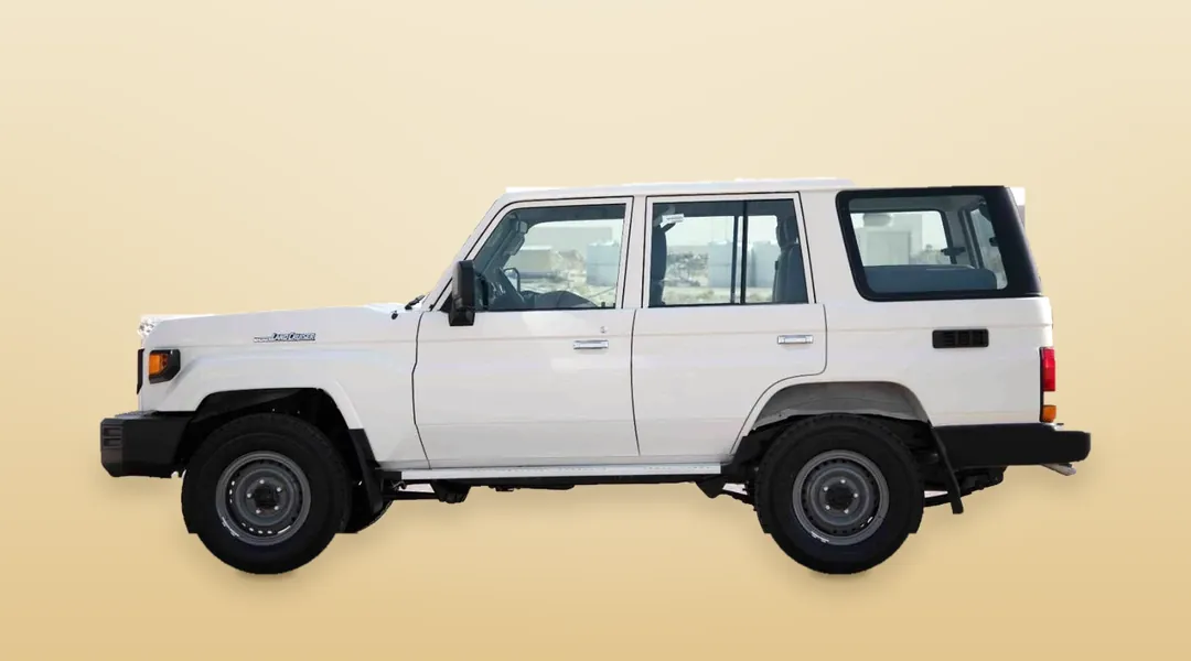
Long-distance driving in Ethiopia works best at about 300 kilometres a day on surfaced main roads, and about 200 on mountain or unsurfaced roads, because you need to be parked before dark. Fuel is the other constraint. As of 30 October 2026, the UK Foreign, Commonwealth and Development Office (FCDO) says "fuel availability is currently limited across Ethiopia". Plan both before you choose a route.
This guide gives measured distances for the main hubs, a realistic daily limit, what we could and could not confirm about fuel, and road conditions by corridor. It covers routes outside FCDO advice against all travel. It deliberately gives no drive plan for Amhara or Tigray, for the reason set out below.
If you are still choosing a vehicle, read which 4×4 suits which route first. If you are not sure you are allowed to drive at all, start with driving in Ethiopia on a foreign licence.
Distances are our own measurements on OpenStreetMap, taken on 6 November 2026 between town centres. The clear-road time is what the routing engine gives with no traffic, stops or checkpoints. It is usually too short. The planning time is our own allowance, which adds 40% and rounds to the half hour. It is a rule of thumb, not a measurement.
| Leg | Distance | Clear-road time | Planning time | FCDO position, 30 October 2026 |
|---|---|---|---|---|
| Addis Ababa to Bishoftu | 52 km | 1 hr | 1.5 hrs | Expressway and 10 km either side excepted from the East Shewa warning |
| Addis Ababa to Adama | 92 km | 1.5 hrs | 2 hrs | Expressway excepted, but FCDO reports kidnappings in the Adama special zone |
| Addis Ababa to Ziway | 166 km | 2 hrs | 3 hrs | Addis to Hawassa road excepted from the East Shewa warning |
| Addis Ababa to Shashemene | 255 km | 3 hrs | 4.5 hrs | As above. Demonstrations reported in Shashemene |
| Addis Ababa to Hawassa | 279 km | 3.5 hrs | 5 hrs | As above |
| Hawassa to Arba Minch | 230 km | 3.5 hrs | 5 hrs | No all-travel warning on this leg |
| Addis Ababa to Arba Minch, direct | 448 km | 5.5 hrs | 7.5 hrs | Passes through the Central region, where FCDO reports unrest in Gurage zone |
| Arba Minch to Konso | 87 km | 1 hr | 1.5 hrs | No all-travel warning on this leg |
| Konso to Jinka | 151 km | 2 hrs | 3 hrs or more | No all-travel warning on this leg |
| Shashemene to Goba (Bale) | 201 km | 4.5 hrs | 6 hrs | No all-travel warning. Demonstrations reported in Bale zone |
| Hawassa to Yabello | 297 km | 3.5 hrs | 5 hrs | Hawassa to Mega road excepted from the Guji warning |
| Addis Ababa to Jimma | 351 km | 5 hrs | 6.5 hrs | No all-travel warning. Unrest reported in Gurage zone, which the road crosses |
| Addis Ababa to Awash | 218 km | 3 hrs | 4 hrs | All but essential travel in East Shewa beyond the expressway. Attacks on vehicles reported on the A1 between Adama and Awash |
| Addis Ababa to Harar | 503 km | 8 hrs | 11 hrs | Same A1 warning, plus tensions reported in Haraghe |
Read the last two rows carefully. A road being open does not make it a good choice. For Harar, the simpler answer is to fly to Dire Dawa and drive the last hour, which is how our Harar and Dire Dawa tour is built.
The FCDO advises against all travel to Amhara and Tigray. That rules out the classic drive north to Bahir Dar, Gondar, Lalibela, Mekele and Axum for now. It also reports armed men attacking vehicles on the Addis Ababa to Bahir Dar road (A3). The stretch of the A3 in North Shewa is itself under advice against all travel.
The same advice covers Gambela, the main Addis Ababa to Gambela road through West Wollega, and the borders with Sudan, South Sudan, Eritrea and Somalia. The shores of Lake Turkana fall inside the same warning, because it covers land within 10 km of the Kenyan border in the southern regions.
Moyale is a separate case. The FCDO advises against all but essential travel there and reports armed clashes in the town in October 2026. Do not treat the road to Kenya as a simple extension of a southern trip.
Advice can change at short notice, and insurers may not cover a trip against it. Check the FCDO page on the day you confirm your route, and again before you leave.
About six hours of planning time, seven at the very most. On the table above, that means Addis Ababa to Hawassa with time to spare, or Shashemene to Goba as a full day.
The limit comes from daylight. By our calculation for Addis Ababa, the sun sets around 18:00 in November and around 18:45 in June, and it stays close to 12 hours of daylight all year. So there is no long summer evening to use up. Leave at 07:30, stop for lunch, allow for one delay, and you want to reach your hotel by about 16:00. That leaves a margin if a checkpoint or a breakdown costs you two hours.
Split anything longer, even if a map app says it fits. Addis Ababa to Jinka measures 538 km with a clear-road time of over seven hours, and it should be at least two days. A steadier southern version runs Addis Ababa to Hawassa, Hawassa to Arba Minch, then Arba Minch to Jinka through Konso. That is three days of 279, 230 and 238 km, and the last one has the slowest road.
We could not find a reliable, current, station-by-station source for fuel by corridor, so we will not print a fuel map that pretends otherwise. Here is what is on the record.
We have left out a pump price, because the last official figure we could date is from spring and a stale price helps nobody.
Do not build your plan around filling a jerrycan at a station. Under the March directive, staff may not do it. Buying fuel elsewhere is no answer, because authorities have been cracking down on sales outside licensed stations. If your route needs reserve fuel, raise it when you ask for a quote, so the vehicle and the plan account for it from the start.
Hiring with a driver moves most of this problem off your plate. Our car hire with a driver includes fuel in the daily rate. Self-drive cars are handed over with a full tank and returned full, so the queue is yours. Our driver versus self-drive comparison sets out the rest.
This is a tolled expressway of about 85 km. Allow extra time to get out of the city first, and read our guide to driving in Addis Ababa if you will be at the wheel.
A new 202 km toll expressway is replacing the old road in stages. Modjo to Batu opened in September 2021. In October 2025 the World Bank described the project as nearing completion, and expected the Modjo to Hawassa trip to fall from about five hours to about three once fully open. An April 2026 report still described it as under construction, and we found no official confirmation that the full length has opened. Expect a mix of new road and old until you hear otherwise. The surfaced road means a sedan is enough for the Rift Valley lakes.
The road is largely surfaced as far as Konso. Past that, between Jinka, Turmi and the market villages, roads are unsurfaced and a 4×4 stops being optional. They are at their worst in the southern rains from October to December, so add time in those months.
The drive to Goba is the slow one on our table, at about 45 km an hour on clear-road figures. Beyond it, the Sanetti Plateau road climbs above 4,000 metres. You gain that height quickly, so take the first day gently. A 4×4 with good clearance is the right vehicle for the plateau and the Harenna forest tracks.
The FCDO singles out this road for frequent accidents, and lorry traffic adds time. See the Awash row above before you plan it.
The FCDO advice for travel outside Addis Ababa is specific, and it makes a good checklist:
No. The FCDO says to avoid driving after dark anywhere outside Addis Ababa, because vehicles often have no lights and livestock may stray onto the roads. Plan each day to end by about 16:00, so a delay does not push you into darkness.
About 300 km on surfaced main roads and about 200 km on mountain or unsurfaced roads. That is our rule of thumb, based on the daylight available and on measured legs such as Shashemene to Goba, not an official limit.
Often, but not reliably. On 30 October 2026 the FCDO reported limited availability and shortages nationwide, with disruption particularly likely outside the capital. Fill up in every large town and allow time for queues.
Do not count on it. A directive reported in March 2026 bars station staff from filling containers and allows refuelling only into a vehicle's original tank. If your route needs reserve fuel, tell us when you ask for a quote.
We would not plan that for you now. The FCDO advises against all travel to Amhara, where Lalibela is, and reports attacks on vehicles on the A3. Our route tables here stay outside that area.
It depends on the road. A sedan is enough on the surfaced road to the Rift Valley lakes. South of Konso and on the Bale plateau, you need a 4×4. Our vehicle guide matches them route by route.
Tell us where you want to go, your dates and whether you plan to drive yourself. We will check the route against the current advice, split the days sensibly and match a vehicle to the roads. You will have a reply within two hours and a detailed itinerary with a quote within 24 hours.
See our car rental options or send us your route.
